Another of those maps that will soak up a few hours randomly zooming around – a map of prehistoric to medieval archaeology under London.
On the random off-chance that you’ve wondered if your London office or house sits on the site of a mammoth tooth, a roman pot or a Saxon knife — then this Museum of London Archeology map will inform you.
More likely not, but who knows!
The layers of information are broken down into Prehistoric, Roman, Saxon and Medieval and are based on MOLA’s excavations and surveys over the decades as buildings are torn down and replacements erected.
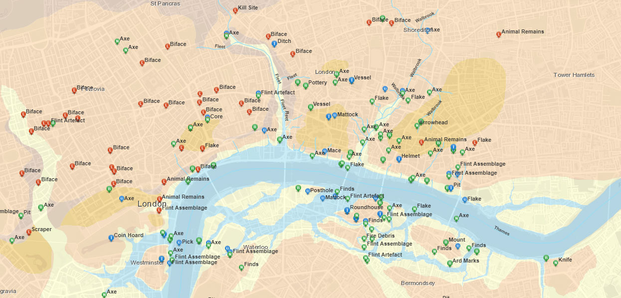
It’s fair to say that Prehistoric London is dominated by axes and bifaces (shaped stones). The map also shows the less often seen aspect of the Thames, how many islands it has, especially in the Southwark area. Thorney Island is very much an island.
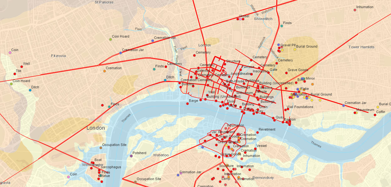
Roman London shows up the roads, and reminds us that the city extended south of the river – so the Romans were more daring than a modern Black cab.
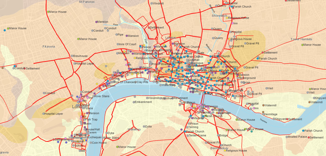
Saxon London reveals Lundenwic, the space between the City and Westminster that was to be the London of its time when the City was abandoned.

Medieval shows how London was expanding, and the many villages that sprang up around London and are now mainly remembered in local area names and tube stations.
The map is here.
Enjoy!


